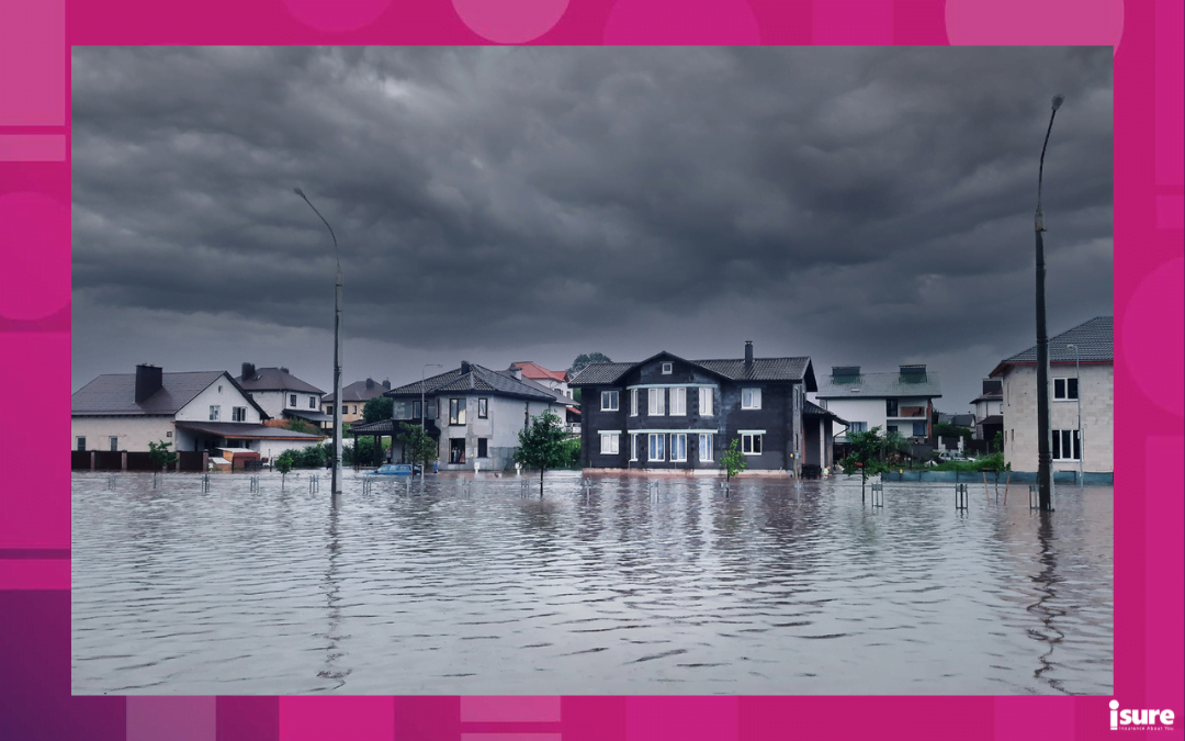
Flood maps, or floodplain maps, help to identify areas that may be at risk of flooding during severe storms. Flood maps are crucial tools for informing communities about their flood risk and supporting public discussions on flood management. Providing communities with floodplain maps that accurately reflect flood hazards can help homeowners make informed decisions about flood and emergency preparedness such as evacuation plans, flood-proofing property measures and insurance needs. Read on to learn more about how to best protect your home by knowing your risks through flood mapping.
What is Flood Mapping?
Flood mapping involves creating maps that identify areas prone to flooding, helping communities understand and manage flood risks. The creation of a flood hazard/risk map requires several steps and the expertise of many people. Steps in flood map creation range from community engagement and data acquisition to producing the map:
Identify Flood-Prone Areas:
- Priority Setting: Identify and prioritize areas at high risk of flooding that require up-to-date flood maps.
- Data Acquisition: Gather information such as meteorological, historical and land elevation data, to help predict where the water will flow in case of flooding. This information will be used for hydrologic and hydraulic modelling.
- Hazard Assessment: Analyze historic precipitation and flow data to understand future floods. Consider climate change, meteorology and other factors that contribute to potential flooding.
- Modelling and Mapping: Delineate flood levels and predict flooding scenarios by running hydrologic and hydraulic models based on acquired data. Hydrologic modelling estimates a range of potential flood flows, and hydraulic modelling calculates water levels along rivers for those flows.
- Communication and Dissemination: Produce and disseminate maps based on modelling for easier interpretation.
Understanding Flood Risk:
- Risk assessment: Use maps and other information to identify flood risk zones.
- Mitigation: Implement land-use restrictions and invest in measures to reduce impacts of flooding.
- Engagement and Collaboration: Inform and gather feedback from community members and stakeholders throughout entire process.
For guidance on each of these steps, visit the Federal Flood Mapping Guidelines Series.
Understanding Flood Maps and Messaging
Monitoring weather and flood conditions is a shared responsibility of Conservation Authorities, Ministry of Natural Resources and Forestry (MNRF) and Environment Canada. The MNRF Surface Water Monitoring Centre monitors weather forecasts and water levels across the province and provides that information to Conservation Authorities. Conservation Authorities and MNRF are responsible for forecasting where and when flooding is likely to occur, and issuing appropriate messages.
When flooding is possible or imminent, Conservation Authorities (or MNRF, in areas where there is no Conservation Authority) issue flood messages to municipal emergency management officials and the media. The municipal officials then take action to warn local residents within flood map areas. Advance warning of an impending flood allows municipalities and other government agencies to put emergency response plans into action, and if necessary, evacuate communities.
Flood Messages
NORMAL
Conditions are within normal limits. No flooding is expected.
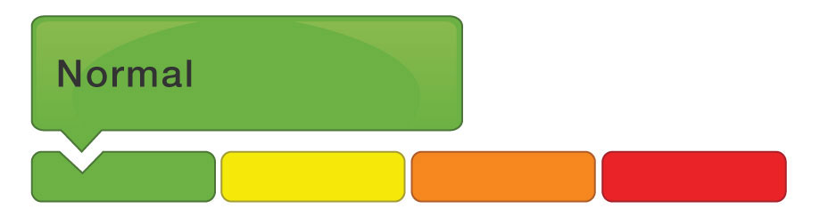
Photo via conservationontario.ca
WATER SAFETY STATEMENT
High flows, unsafe banks, melting ice or other factors could be dangerous for recreational users such as anglers, canoeists, hikers, children, pets, etc. Flooding is not expected.

Photo via conservationontario.ca
FLOOD OUTLOOK STATEMENT
Early notice of the potential for flooding based on weather forecasts calling for heavy rain, snow melt, high wind or other conditions that could lead to high runoff, cause ice jams, lakeshore flooding or erosion.

Photo via conservationontario.ca
FLOOD WATCH
Flooding is possible in specific watercourses or municipalities. Municipalities, emergency services and individual landowners in flood-prone areas should prepare.
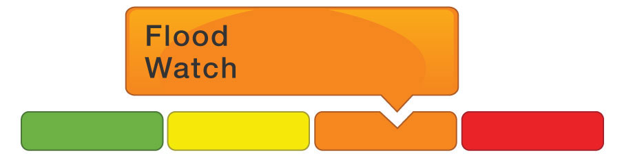
Photo via conservationontario.ca
FLOOD WARNING
Flooding is imminent or already occurring in specific watercourses or municipalities. Municipalities and individuals should take action to deal with flood conditions. This may include road closures and evacuations.
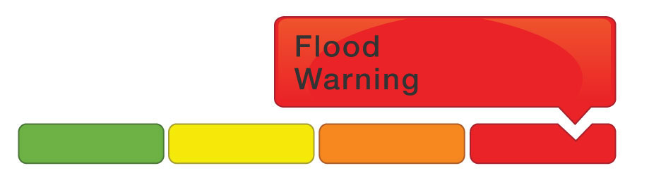
Photo via conservationontario.ca
Provincial flood messages
There are three types of provincial flood messages:
- Provincial Flood Watch, which provides consistent and timely technical information about the potential for flooding
- Provincial Watershed Conditions Statement, which provides information on provincial watershed conditions as they relate to flood potential, and an outlook on expected spring flood conditions
- Provincial Shoreline Conditions Statement, which provides information on provincial conditions on the Great Lakes as they relate to flood potential and an outlook on expected water levels and surge conditions
Local flood messages
There are four types of local flood messages:
- Flood Warning: Flooding is imminent or already occurring
- Flood Watch: There is the potential for flooding
- Watershed Conditions Statements: Flood outlook (an early notice of the potential for flooding based on heavy rain, snow melt etc.) and water safety information.
- Shoreline Conditions Statements: Flood outlook (an early notice of the potential for flooding on the Great Lakes based on weather and lake conditions) and water safety information.
Toronto’s Secret Flood Map
The Toronto Star has released a flood map indicating the areas of Toronto that are most hazardous to flooding. Its creation is thanks to Jason Thistlethwaite and Daniel Henstra with JBA Risk Management, a company making flood maps for the Canadian government. With this map, Thistlethwaite and Henstra show the enormous amount of flood risk that remains hidden from the public. Modeling something as complex as Toronto is a difficult task, so the map may have some uncertainties.
Furthermore, the map shows areas that will likely flood if rivers and other water bodies overflow in a brutal storm. Known as fluvial flooding, this is shown in blue on the map. However, what these maps ignore is pluvial flooding. This happens when rainfall is so great that it overwhelms sewers and drainage infrastructure. Marked in orange, this is also known as surface flooding. “This is Canada’s most significant climate change risk. It’s getting worse, and we need as much information out there as we can get,” Henstra states to the Toronto Star.
Who to contact for flood map information
Your local Conservation Authority is responsible for local flood messaging. Your local municipality is responsible for on-the-ground flood response and flood mapping areas. If you live in a community that is not serviced by a conservation authority, any flood watches or flood warnings in your area are issued by the nearest Ministry of Natural Resources district office.
Luckily for homeowners, their home insurance covers most damage done to your belongings and your home. However, if you are in Toronto, it is important to first call 311 to have the city come and investigate the extent of the damages. This will help prove whether or not the damages you suffered from a flood were due to your house’s structure or negligence. From there, you should then contact your isure broker or insurer to submit a claim.
Remember, no matter the extent of flooding, your isure brokers have you covered. Contact us or request a quote today!
Warmer spring weather brings the potential for flooding across many Read more

It's never fun thinking of worst-case scenarios. But, according to Read more
Plans for a National Flood Insurance program are set to Read more